Skip to content
← Antwerp

Antwerp / Record & trade

Eilandje: a warehouse archive, a war memorial and two museums

A warehouse of 1858 on the Willemdok that now holds the city archive, with the MAS facing it. The route then goes west to the Loodswezen site on the Scheldt quays, where a memorial with about 25,000 names is planned, and north to the Red Star Line Museum. Next to the MAS it passes the site of the Oostershuis, a trading house that burned down in 1893.

1.7 km on foot · 4 stops

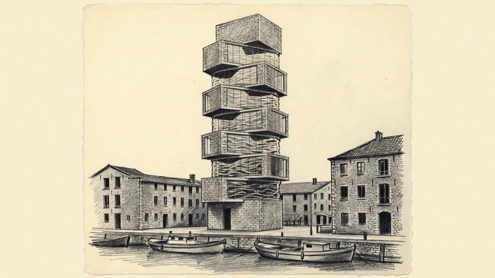
Charcoal illustration of the MAS museum tower of stacked blocks beside a dock in Antwerp.
MAS · The museum tower between the docks. Charcoal illustration, not a survey drawing.

The Sint-Felix warehouse was built in 1858 on the Willemdok, at Godefriduskaai 30, on the edge of the Eilandje district. It stored goods then. Since 2006 it has stored the city's papers, as the home of the FelixArchief, Antwerp's municipal archive. Opposite it stands the Museum aan de Stroom, the MAS, open since May 2011; no museum in Antwerp is bigger.

Beside the MAS stood the Oostershuis, a kontor that took over from the one in Bruges once that city's trade had faded in the later 1400s. It went up around 1560 and burned in 1893. West of the museum, on the Loodswezen site along the Scheldt quays, Antwerp plans the Namenmonument, which is to carry the names of roughly 25,000 of its people killed in the Second World War. The route ends to the north at the Red Star Line Museum, opened on 28 September 2013 and devoted to the history of the Red Star Line.

Before you set off

This route was drawn on the map and has not been walked by us yet. It has not been assessed for step-free access.

Your pace, your stops

We don’t give walking times: everyone moves through a city at a different pace. A route is a suggestion that links places worth seeing. You decide where to stop and what you can take on today.

1234N ↑
Sint-Felixpakhuis0.0 / 1.7 km

Track sketch · north up · not a street map · Route data © OpenStreetMap contributors

01A warehouse of 1858 that became the city archive.51.2275° N · 4.4078° E

Sint-Felixpakhuis

The building went up in 1858 as the Stapelhuis Sint-Felix, a warehouse on a monumental scale, and is now usually called the Felixpakhuis. Its address is Godefriduskaai 30, on the Willemdok, and a passage through the middle of the building leads to the Oudeleeuwenrui behind.

Since 2006 it has housed the FelixArchief, the archive of the city of Antwerp. The MAS stands opposite, and the Eilandje district begins next to the warehouse.

Next on footThe Museum aan de Stroom lies to the north-west.

02The city's largest museum, with a lost 16th-century trading house as its neighbour.51.2289° N · 4.4043° E

Museum aan de Stroom (MAS)

The Museum aan de Stroom, shortened to MAS, stands beside the Scheldt in the Eilandje district. The Dutch name means Museum by the Stream. It has been open since May 2011, and Antwerp has no bigger museum.

Next to it was the Oostershuis, the Eastern House. It was a kontor, and it carried on in Antwerp what an earlier kontor had done in Bruges, whose part in trade shrank in the later 1400s; a formal move to Antwerp was being planned in the century that followed. Cornelis Floris II designed the building, which went up around 1560. It shut in 1593, and a fire in 1893 left nothing of it to look at today.

Next on footThe Namenmonument lies to the west.

03Where Antwerp plans to name its dead of the Second World War.51.2281° N · 4.4008° E

Namenmonument

The Namenmonument is a planned war memorial for the people of Antwerp who died in the Second World War. Its place is the Loodswezen site, on the Scheldt quays beside the Loodswezen building. Four groups are to be named on it: victims of the Holocaust, civilians, victims of Nazi violence and soldiers. Together that is about 25,000 names.

The site already has a part in remembrance. Since September 2024 the city's yearly ceremony for its war victims has been held here.

Next on footThe Red Star Line Museum lies to the north.

04The history of a shipping line, to end the route.51.2333° N · 4.4039° E

Red Star Line Museum

The Red Star Line Museum tells the history of the Red Star Line. It opened on 28 September 2013, two years after the MAS.

End of the routeThe route ends here.

Open in Google Maps Download GPX

This track was calculated on a map and has not yet been checked on foot. Follow public paths and local signs if conditions differ.

Facts taken from the Wikipedia articles below (Wikipedia contributors, CC BY-SA 4.0) and rewritten for this route; this is not a copy of their text. Generated with editorial rules and checked 10 October 2026. Transport lines come from OpenStreetMap: confirm with the operator before travelling.

Another side of Antwerp

More routes in Antwerp

01Faith, trade, craft

Antwerp old town: churches and trades from St. James' to the Scheldt

Rubens is buried at the second stop and stands in bronze near the end, and between the two his paintings hang in three more churches. Around them the walk passes a butchers' guildhall, a fortress gate from the early 1200s, a printing house that ran for four centuries and a tower block from 1932 that was long outdone in height only by the cathedral.

5.2 km on foot · 21 stops

02Care, collecting, stage

Stadspark to the Rubenshuis: care, collections and a city stage

The walk starts in a park laid out on a former fortification and ends at the house a painter redesigned for himself. Between them come the spot where a southern gate once stood, a garden planted for medical students, a home for orphaned girls, and a theatre whose architect also drew the garden's gate.

2.9 km on foot · 9 stops

03Old ground, new uses

The Zuid, where courts and museums took over older ground

The walk starts at a courthouse opened in 2006 where trains used to arrive and ends at a synagogue built in 1893. Between them stand a gate carved in 1624 for a Spanish king and a museum with bronze chariots and seven portrait medallions on its walls.

2.2 km on foot · 7 stops

04Rail & arrival

Station quarter: the opera, Centraal and the Zoo

A short walk through the streets around Antwerp's main station. It starts at the opera house, passes the square where the city's buses gather and ends at two neighbours: a station building finished in 1905 and, next to it, a zoo founded in 1843.

1.2 km on foot · 5 stops