Gentpoort to Simon Stevinplein: gates, art and churches
A bridge in two parts over the Ringvaart opens a route past two city gates and the Poertoren, an 18-metre tower that stored the city's gunpowder from 1477. Further on come BRUSK, the Groeningemuseum, Michelangelo's marble Madonna of Bruges and a church with flying buttresses from the 1270s. The last stop is the statue of Simon Stevin.
3.7 km on foot · 20 stops
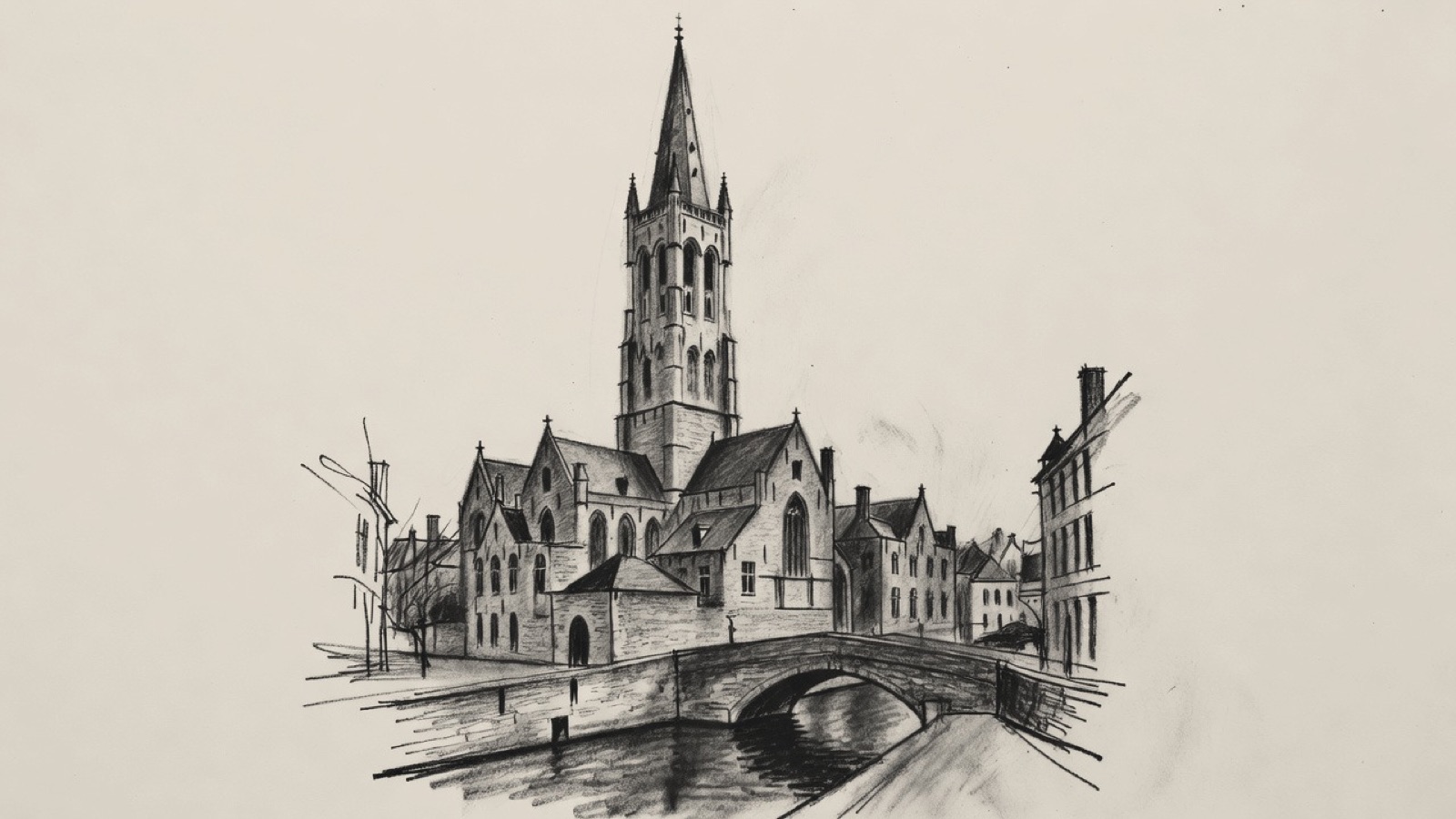
Church of Our Lady · The brick tower above the canal. Charcoal illustration, not a survey drawing.
The route begins on the Ringvaart, at the Gentpoortbrug, and takes in two city gates: the Gentpoort, one of the four that survive, and the Katelijnepoort, a gate that has gone, though its name is still used for the spot and a swing bridge lies there. The Poertoren, west of the Katelijnepoort, stored the city's gunpowder from 1477. From there the stops turn north and east through Walplein and Ankerplein, where the Katelijnestraat that led to the lost gate meets two other streets.
The ground of the medieval Eekhout Abbey now carries the Groeningemuseum, BRUSK opened beside it in 2026, and the Arentshuis and the Gruuthusemuseum are the next museums on the list. Michelangelo's Madonna of Bruges was bought in 1504 by two cloth merchants of a city that was then among the main trading centres of Europe. The Church of Our Lady and Sint-Salvatorskathedraal come next, and the last stop, Simon Stevinplein, is probably where the oldest market square of Bruges lay.
Before you set off
This route was drawn on the map and has not been walked by us yet. It has not been assessed for step-free access.
Your pace, your stops
We don’t give walking times: everyone moves through a city at a different pace. A route is a suggestion that links places worth seeing. You decide where to stop and what you can take on today.
01The Ringvaart, and the bridge that spans it at the Gentpoort.51.2028° N · 3.2350° E
Gentpoortbrug
The Gentpoortbrug spans the Ringvaart at the Gentpoort, between the centre of Bruges and Assebroek, one of the city's sub-municipalities. It carries the N337 and joins the Gentpoortstraat to the Generaal Lemanlaan.
The bridge is made of two parts: a fixed arch and a movable bascule section.
Next on footThe Gentpoort lies to the west.
02One of the four city gates of Bruges that survive.51.2029° N · 3.2343° E
Gentpoort
Four of the city gates of Bruges survive, and the Gentpoort is one of them. The Gentpoortbrug lies to its east.
Next on footThe Katelijnepoort, a gate that did not survive, lies to the south-west.
03A city gate that survives as a place name.51.1996° N · 3.2297° E
Katelijnepoort
The Katelijnepoort was a city gate at the end of the Katelijnestraat. The gate is gone, and its name is used for the spot where it stood.
A swing bridge over the Ringvaart, the Katelijnepoortbrug, lies at this spot.
Next on footThe Poertoren lies to the west.
04Where the city kept its gunpowder from 1477.51.1987° N · 3.2236° E
Poertoren
The Poertoren is a tower on the Begijnenvest. From 1477 the city stored its gunpowder in it, and the name says so: poer is the West Flemish word for gunpowder.
The tower is 18 metres high and 8 metres across, with walls about 1.3 metres thick.
Next on footThe Begijnhofbrug lies to the north.
05A listed bridge with two names.51.2017° N · 3.2239° E
Begijnhofbrug
The Begijnhofbrug is a listed bridge. It has a second name, Wijngaardbrug.
Next on footWalplein, a square, lies to the north-east.
06The first square of the walk, in the centre of the city.51.2025° N · 3.2244° E
Walplein
Walplein is a square in the centre of Bruges. It lies north-east of the Begijnhofbrug, and the next square, Ankerplein, is to its east.
Next on footAnkerplein lies to the east.
07The street of the lost gate meets two others.51.2028° N · 3.2257° E
Ankerplein
Ankerplein is a small square made by the meeting of three streets: Katelijnestraat, Oude Gentweg and Nieuwe Gentweg. Katelijnestraat is the street at whose end the Katelijnepoort stood.
The Diamantmuseum of Bruges is on the square.
Next on footThe site of Eekhout Abbey lies to the north-east.
08The medieval abbey on whose site a museum is built.51.2052° N · 3.2295° E
Eekhout Abbey
Augustinian Canons had a house in Bruges in the Middle Ages: Eekhout Abbey, Eekhoutabdij in Dutch. The Groeningemuseum, two stops ahead, is built on its site.
Next on footBRUSK lies to the west.
09An art hall opened in 2026 beside the Groeningemuseum.51.2056° N · 3.2275° E
BRUSK
BRUSK is an art hall on the Garenmarkt, next to the Groeningemuseum, built to show old, modern and contemporary art. It opened officially on Friday 8 May 2026; the public had been let into the building during a pre-opening in September 2025. Robbrecht en Daem architecten designed it with the Bruges office Olivier Salens architecten, and the developer CIT Red realised it.
The building cost about forty million euros. The Flemish Community paid sixty per cent and the City of Bruges the rest. The name is an acronym with no fixed meaning: Musea Brugge, to which BRUSK belongs, offers readings such as Brugge, Stedelijke, Kunsthal and Brugge, Schone, Kunsten, and leaves the choice open.
Next on footThe Groeningemuseum, its neighbour, lies to the west.
10Six centuries of Flemish and Belgian painting on the abbey's site.51.2055° N · 3.2267° E
Groeningemuseum
The Groeningemuseum is the municipal museum, and Eekhout Abbey stood on this ground before it. Flemish and Belgian painting fills the collection, with Jan van Eyck at the early end and Marcel Broodthaers at the late end, six centuries apart.
The highlights listed include Flemish Expressionism, Belgian symbolism and modernism, and realist and neo-classical painting of the 19th and 18th centuries. Masters of the Baroque and the Renaissance are among them too, as are the Early Netherlandish pictures and many pieces from the city's post-war modern art.
Next on footMusea Brugge, the organisation behind the city's museums, lies to the west.
11The organisation behind the city's museums.51.2055° N · 3.2264° E
Musea Brugge
Musea Brugge is an organisation, not a building: since 2019 it has been the umbrella body of the municipal museums of Bruges, thirteen in all. BRUSK, the Groeningemuseum, the Arentshuis, the Gruuthusemuseum and the Church of Our Lady, all stops on this walk, are on its list.
Next on footThe Arentshof, a garden, lies to the south-west.
12The garden beside the Arentshuis.51.2052° N · 3.2255° E
Arentshof
The Arentshof is a garden that adjoins the Arentshuis. A former coach house belongs to it.
Next on footThe Arentshuis lies to the north-west.
13An 18th-century house that closed as a museum in 2023.51.2055° N · 3.2251° E
Arentshuis
The Arentshuis is an 18th-century building on the Dijver. It was a museum, part of Musea Brugge, until it closed in 2023; with the Groeningemuseum it held fine art from the 15th to the 21st century.
The upper floor showed the work of Frank Brangwyn (1867-1956), a British-Bruges artist. He painted vivid, realistic scenes of industry: docks, factories and the hard labour of the men who worked in them. He recorded his travels in colourful canvases, watercolours and etchings, and designed furniture and carpets as well. The ground floor had changing exhibitions related to the Groeninge collection.
Next on footThe Gruuthusemuseum lies to the south-west.
14Applied arts in the medieval house of Louis de Gruuthuse.51.2053° N · 3.2247° E
Gruuthusemuseum
Applied arts are the subject of the Gruuthusemuseum. It occupies the Gruuthuse, the medieval house of Louis de Gruuthuse, and its collection runs from the 15th century to the 19th.
The name Gruuthuse comes up once more on this walk, in a chapel of the Church of Our Lady.
Next on footThe statue of Guido Gezelle lies to the south-west.
15The main monument to a Belgian poet.51.2050° N · 3.2239° E
Guido Gezelle statue
This statue is the principal monument to the Belgian poet Guido Gezelle. The Guido Gezelleplein lies to its south.
Next on footGuido Gezelleplein lies to the south.
16A square in the centre of Bruges, south of the poet's statue.51.2049° N · 3.2240° E
Guido Gezelleplein
Guido Gezelleplein is a square in the centre of Bruges, with the statue of Guido Gezelle to its north. The Madonna of Bruges lies to its east and the Church of Our Lady south of that.
Next on footThe Madonna of Bruges lies to the east.
17A Michelangelo bought by two cloth merchants of Bruges in 1504.51.2049° N · 3.2246° E
Madonna of Bruges
The Madonna of Bruges is a marble sculpture of the Virgin and Child by Michelangelo, made early in the 16th century. Earlier versions of the subject showed a devout Virgin smiling down at a baby in her arms. Here the Child stands upright, hardly supported, with Mary's left hand resting loosely on him, and he seems ready to step away. Mary neither holds on to him nor looks at him: her eyes are turned down and aside. Her long oval face, the fall of her robe and the movement of the drapery recall Michelangelo's Pietà, finished shortly before. The sculpture is thought to have been meant for an altarpiece.
Giovanni and Alessandro Moscheroni, known as Mouscron, bought it in 1504 for 100 ducats. The brothers were wealthy cloth merchants in Bruges, at that time among the main trading cities of Europe. No earlier sculpture by Michelangelo had gone abroad in his lifetime. It was taken out of the country twice afterwards. In 1794, with the Austrian Netherlands conquered by French Revolutionaries, the people of Bruges were ordered to send it to Paris with other valuable works of art; it came back in 1815, once Napoleon had lost for the last time at Waterloo. In 1944 it was removed again.
Next on footThe Church of Our Lady lies to the south.
18A brick tower of 115.6 metres and buttresses from the 1270s.51.2044° N · 3.2245° E
Church of Our Lady
The Church of Our Lady, Onze-Lieve-Vrouwekerk in Dutch, is a Roman Catholic church dating mainly from the 1200s to the 1400s. Its brick tower is 115.6 metres high. The flying buttresses on the outside, put up in the 1270s and 1280s, show the Gothic style.
Inside, the nave has cross-vaults and a floor of black and white tiles, and the side aisles and chancel are heavily ornamented Baroque. One chapel was made in 1482 as a private place of worship for a wealthy man, Lodewijk van Gruuthuse, a name shared with the Gruuthuse house of the Gruuthusemuseum.
Next on footSint-Salvatorskathedraal lies to the north-west.
19The cathedral of Bruges.51.2053° N · 3.2216° E
Sint-Salvatorskathedraal
Sint-Salvatorskathedraal is the cathedral of Bruges, a Roman Catholic one, also known by the name Cathedral of the Saviour and St Donat. It is dedicated to the Verrezen Zaligmaker, Dutch for the risen saviour, and to Saint Donatius of Reims.
Next to the cathedral, at Korte Vuldersstraat 14, is Huis 't Schaep: two 17th-century dwellings joined into one house. Each had a step gable until Samuel Coucke remodelled them in the Gothic Revival style when he joined them. The Coucke family, makers of stained glass, lived and worked here and fired their glass in kilns in an annexe. Three original stained-glass windows and a tableau of painted tiles with biblical scenes, both by Atelier Coucke, are kept inside. The building has been listed since 1992.
Next on footSimon Stevinplein, the last stop, lies to the north-east.
20Probably the site of the oldest market square of Bruges.51.2066° N · 3.2227° E
Simon Stevinplein
Simon Stevinplein is a square between the Steenstraat and the Oude Burg. The statue on it is of Simon Stevin, the mathematician and physicist born in Bruges.
The oldest market square of Bruges probably lay here, before the Markt was laid out.
Facts taken from the Wikipedia articles below (Wikipedia contributors, CC BY-SA 4.0) and rewritten for this route; this is not a copy of their text. Generated with editorial rules and checked 10 October 2026. Transport lines come from OpenStreetMap: confirm with the operator before travelling.