Skip to content
← Bruges

Bruges / Mills, lace, convents

Sint-Anna and the Kruisvest: mills, convents and lace

Two grain mills stand on the Kruisvest, one built in 1770 and one in 1996. Further on come the house where the poet Guido Gezelle was born, the domed church of the Engels Klooster and the lace school of the sisters who began teaching lace in 1717.

2.8 km on foot · 10 stops

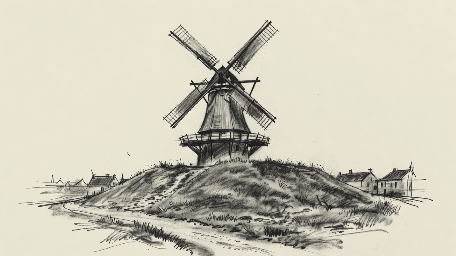
Charcoal illustration of a wooden windmill with four sails on a grassy mound.
A windmill on the Kruisvest. Charcoal illustration, not a survey drawing.

The Hospital of Our Lady of the Pottery was founded in the 13th century, the century in which Opicius Adornes came from Genoa to Flanders. His descendants built the Jerusalem church in the first half of the 15th century. The Engels Klooster has a domed church, the Sint-Annakerk has a baroque interior, and Genadedal was a Carthusian monastery, in Sint-Kruis from 1318 to 1609 and in Bruges from 1609 to 1783.

The Koeleweimolen and the Sint-Janshuismolen are both grain mills on the Kruisvest, at the edge of the city centre. The Apostoline sisters began teaching lace-making in Bruges in 1717, and the Kantcentrum was set up in 1970 to carry that teaching on. The Gezellehuis stands in the birthplace of Guido Gezelle, and the Kruispoort is one of the city gates that remain.

Before you set off

This route was drawn on the map and has not been walked by us yet. It has not been assessed for step-free access.

Your pace, your stops

We don’t give walking times: everyone moves through a city at a different pace. A route is a suggestion that links places worth seeing. You decide where to stop and what you can take on today.

12345678910N ↑
Our Lady of the Pottery0.0 / 2.8 km

Track sketch · north up · not a street map · Route data © OpenStreetMap contributors

01A hospital foundation of the 13th century.51.2191° N · 3.2308° E

Our Lady of the Pottery

The Hospital of Our Lady of the Pottery, in Dutch Onze-Lieve-Vrouw ter Potterie, was one of the care institutions of medieval Bruges. Its foundation on the Potterierei dates from the 13th century.

Next on footThe Koeleweimolen lies to the east.

02A grain mill on the Kruisvest, built in 1996.51.2199° N · 3.2342° E

Koeleweimolen

The Koeleweimolen stands on the Kruisvest, at the edge of the city centre. It was built in 1996 and serves as a grain mill.

Next on footThe Sint-Janshuismolen lies to the south-east.

03The third mill on its spot, built in 1770.51.2154° N · 3.2380° E

Sint-Janshuismolen

The Sint-Janshuismolen is also on the Kruisvest and also serves as a grain mill. The windmill dates from 1770 and is the third to occupy this spot.

The name comes from the hospital of Sint-Jan. The hospital probably never owned the mill, but an annuity was charged on it for the hospital's benefit.

Next on footThe Gezellehuis lies to the south-west.

04The house where Guido Gezelle was born.51.2149° N · 3.2376° E

Gezellehuis

The Gezellehuis is a municipal museum on the Rolweg, set up in the house where the Flemish poet Guido Gezelle was born. It follows the Guido Gezellemuseum, which occupied the same place from 1926 until May 2020.

Next on footThe Engels Klooster lies to the west.

05A convent with a domed church.51.2149° N · 3.2350° E

Engels Klooster

The Engels Klooster, full name Onze Lieve Vrouw van Nazareth, is a convent on the Carmersstraat. Its church has a dome.

Next on footThe Kantcentrum lies to the south-west.

06Lace teaching that began in 1717.51.2132° N · 3.2337° E

Kantcentrum

The Kantcentrum is a non-profit museum and centre of expertise for lace. It was founded in 1970, chiefly to carry on the lace training that the Apostoline sisters started in Bruges in 1717, and its subject is lace made by hand.

The lace museum was first housed in the restored almshouses by the Jerusalem church, where elderly lace-makers were living in the early 1960s. In 2014 the centre opened on the Balstraat, in the renovated lace school of the Apostoline sisters. A permanent display inside shows the different kinds of lace, and temporary exhibitions draw on Belgian or foreign collections according to their theme.

Next on footThe Sint-Annakerk lies to the south-west.

07A parish church rebuilt in the early 17th century.51.2123° N · 3.2325° E

Sint-Annakerk

The Sint-Annakerk is the Catholic church of Sint-Anna, which is both a district and a parish of Bruges. The church was rebuilt at the start of the 17th century, and its interior was fitted out in baroque style. Its patron is Mother Anna.

Next on footThe Jerusalem church lies to the east.

08A church built by a family from Genoa.51.2123° N · 3.2344° E

Jerusalem church

The Jerusalem church, also called the Jeruzalemkapel, was built in the first half of the 15th century by descendants of Opicius Adornes. He came from Genoa and arrived in Flanders in the 13th century.

The restored almshouses by the church are the ones that first held the lace museum of the Kantcentrum.

Next on footThe Kruispoort lies to the east.

09A surviving city gate51.2125° N · 3.2400° E

Kruispoort

The Kruispoort is one of the city gates of Bruges that remain. It is an example of the military architecture of the Middle Ages.

Next on footGenadedal lies to the south-west.

10A Carthusian monastery at two sites51.2118° N · 3.2384° E

Genadedal

Genadedal, in French the Chartreuse du Val-de-Grâce, was a Carthusian monastery. It was based in Sint-Kruis from 1318 to 1609 and, after the wars of religion, in Bruges from 1609 to 1783. This stop lies to the south-west of the Kruispoort.

End of the routeThe route ends here.

Open in Google Maps Download GPX

This track was calculated on a map and has not yet been checked on foot. Follow public paths and local signs if conditions differ.

Facts taken from the Wikipedia articles below (Wikipedia contributors, CC BY-SA 4.0) and rewritten for this route; this is not a copy of their text. Generated with editorial rules and checked 10 October 2026. Transport lines come from OpenStreetMap: confirm with the operator before travelling.

Another side of Bruges

More routes in Bruges

01Guilds, counts & trade

Markt and Burg: from the city gate to the trades' squares

A walk of sixteen stops from a gate on the edge of Bruges to the Markt and the Burg, then on to the trades' squares. Look for two rounded towers on the gate, a belfry leaning to the south-east and slate-spired turrets on the town hall. Further on come a double colonnade round a fish market and a saint clasping a crucifix on a bridge.

3.5 km on foot · 16 stops

02Gates, museums, churches

Gentpoort to Simon Stevinplein: gates, art and churches

A bridge in two parts over the Ringvaart opens a route past two city gates and the Poertoren, an 18-metre tower that stored the city's gunpowder from 1477. Further on come BRUSK, the Groeningemuseum, Michelangelo's marble Madonna of Bruges and a church with flying buttresses from the 1270s. The last stop is the statue of Simon Stevin.

3.7 km on foot · 20 stops

03Squares and trade

Around Jan van Eyckplein: squares, Jesuits and trade

Seven squares lie on this route, from Woensdagmarkt to Oude Beursplein, and Torenbrug at the start spans two named waters. Along the way are a 17th-century Baroque church built by the Jesuits, a palace of 1435 that housed a Medici bank, and a 14th-century building with its date on the façade.

1.6 km on foot · 16 stops

04Gate & care

Smedenpoort to Sint-Janshospitaal: a city gate, a square and the houses of religious women

Two round towers painted ochre around the passage of a medieval gate. A uniform row of painted fronts on 't Zand, left over from a bigger plan. Then the béguinage of Bruges, entered by a monumental gate, and a medieval hospital that now holds museums.

3.9 km on foot · 4 stops