strevvo

Every route tells a story.

← All Venice routes

Venice / Route 03 / Neighbourhood life

Dorsoduro: from Santa Margherita to the Zattere

Four stone footprints explain a bridge’s name. A university auditorium occupies an old church. Between Santa Margherita and the waterfront, there is plenty to notice before reaching the next landmark.

1.0 km on foot · 5 stops

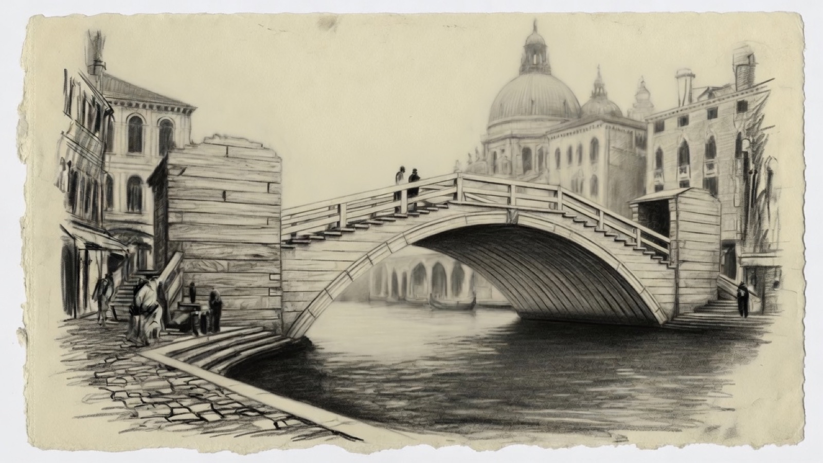
Charcoal illustration of the Accademia Bridge and the Grand Canal
Illustrated view · Campo Santa Margherita to Zattere waterfront

This walk starts in Campo Santa Margherita, passes San Barnaba and reaches the Accademia before turning south to the Zattere. It keeps you in Dorsoduro throughout; there is no need to cross the Grand Canal.

The small stops are worth your attention. The footprints on Ponte dei Pugni are particularly easy to walk over, and their story is one you are unlikely to guess from the view.

Before you set off

Expect stepped bridges. This route has not been assessed for step-free access. The Accademia stop is on the Dorsoduro approach; crossing the entire bridge is outside this route.

Your pace, your stops

We don’t give walking times: everyone moves through a city at a different pace. A route is a suggestion that links places worth seeing. You decide where to stop and what you can take on today.

12345N ↑
Campo Santa Margherita0.0 / 1.0 km

Track sketch · north up · not a street map

01An old church with a new audience45.4343° N · 12.3237° E

Campo Santa Margherita

At the northern end of the campo, the former church of Santa Margherita now houses an auditorium of Ca’ Foscari University. The building’s uses have changed repeatedly since it ceased to function as a church; the university is its latest custodian.

It is a useful place to begin because the square gives you room to get your bearings before the streets narrow. Find the way towards Ponte dei Pugni on the map, then put the phone away until you reach the bridge.

Next on footTake the route towards Ponte dei Pugni, the small crossing before Campo San Barnaba.

02The marks belong to a fight.45.4331° N · 12.3243° E

Ponte dei Pugni

Look down at the stone footprints. They mark positions associated with the contests between the Castellani and Nicolotti, rival Venetian factions. On a bridge that once lacked railings, the object was to send opponents into the canal.

The fights were banned in the early eighteenth century. The marks make an otherwise ordinary crossing a record of a much rougher form of neighbourhood allegiance.

Next on footCross towards Campo San Barnaba, keeping the passage clear.

03The church and its separate bell tower45.4331° N · 12.3250° E

Campo San Barnaba

Beyond Ponte dei Pugni, Campo San Barnaba opens beside the canal. The church gives the square its name and its imposing front; its bell tower stands separately behind. The wellhead provides a convenient point from which to take in the buildings without standing in the path across the bridge.

This route looks at San Barnaba from outside. Continue towards the Accademia when you are ready; an interior visit is not needed to follow the walk.

Next on footContinue towards the Dorsoduro end of the Accademia Bridge, following the prepared walking map.

04A temporary bridge that established a lasting design45.4317° N · 12.3289° E

The Accademia approach

The timber appearance of the Accademia Bridge makes it an unusual crossing of the Grand Canal. Eugenio Miozzi’s wooden bridge opened in 1933 as a temporary solution; later rebuilding retained the familiar form, with steel incorporated into the structure.

From this end of the canal, the dome of Santa Maria della Salute is the landmark to look for. The mapped route reaches the Dorsoduro approach. If you climb onto the bridge for the view, come back to this side before continuing to the Zattere.

Next on footTurn south, following the map towards the Zattere waterfront.

05Across the water, Giudecca45.4290° N · 12.3273° E

The Zattere

The Zattere face the broad Giudecca Canal. After the narrow streets around San Barnaba, this waterfront offers a long view and room to orient yourself. Giudecca is the island opposite.

During the Festa del Redentore, a temporary votive bridge links this shore with Giudecca. At other times there is no ordinary pedestrian crossing here: a route that appears to continue straight across the water needs a boat connection.

End of the routeFinish at the Zattere stop. Any boat journey is separate from this walking route.

Open in Google Maps Download GPX

This track was calculated on a map and has not yet been checked on foot. Follow public paths and local signs if conditions differ.

Dorsoduro: from Santa Margherita to the Zattere | Strevvo